The Seismoelectric Survey Method
The seismoelectric method uses geophysics to induce a signal from groundwater. It is both reliable and accurate. With our computerized seismoelectric technology, we collect electric signals generated by the passage of seismic compression (sound) waves that are sent through the ground. The seismic wave then slightly moves the water in saturated layers of sand, gravel, sandstone, and fractured rock. The water is displaced by the compression wave, causing a small but measurable electric signal (like static electricity) that returns to the surface and is recorded by our sensitive instruments. If there is no water present, there will be no signal indicating an aquifer.
Geologic Assessment
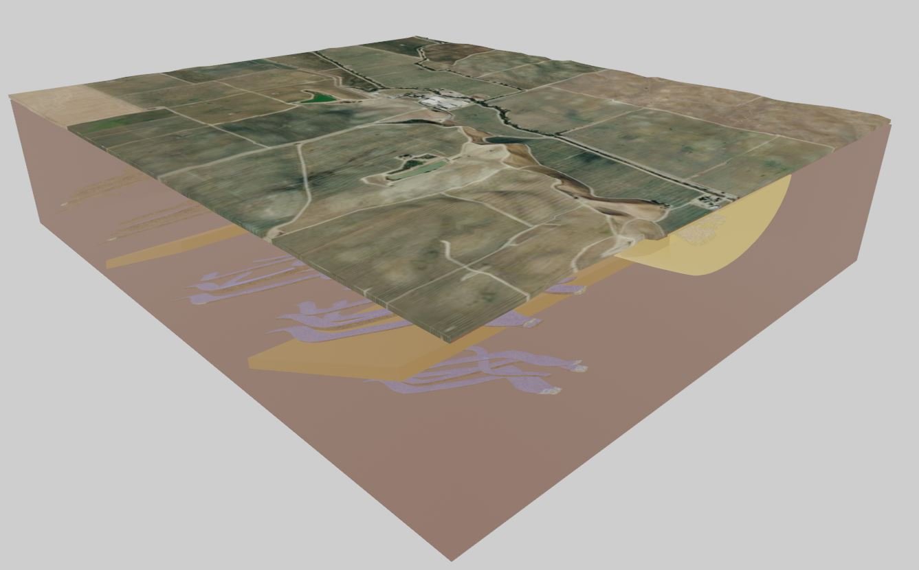
The Seismoelectric survey is coupled with a comprehensive geologic evaluation utilizing readily available industry information. The topography, climate, site geology, hydrology, faulting, surrounding well information and 3D modelling tools are used to help create an understanding of the subsurface conditions. The assessment is prepared by a California licensed Professional Geologist with over 20-years experience in the industry.


